About the Project
Maps & Plans
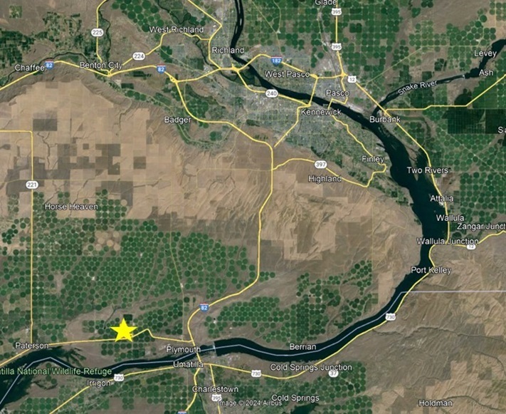
Project Location Map
The project will sit across three parcels, with a total project footprint of 392 acres after final designs.
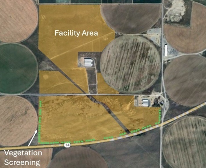
Project Area & Screening Plan
OneEnergy will plant vegetative screening including evergreen trees across the south, southeast and southwest- facing portions of the Facility. These natural visual screens will preserve views for drivers along State Route 14 providing year-round screening. Additionally, existing trees located along the southern boundary will be preserved to the extent practicable in order to maintain extant screening and natural features of the landscape.
Project Visualizations
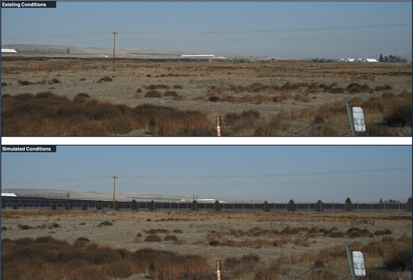
Visual Simulation from SR 14 looking northeast
This visualization is a view of the project from the southwest corner looking northeast across the project area. The top image shows existing conditions on the site; the bottom image shows a simulated view of the facility from the same location.
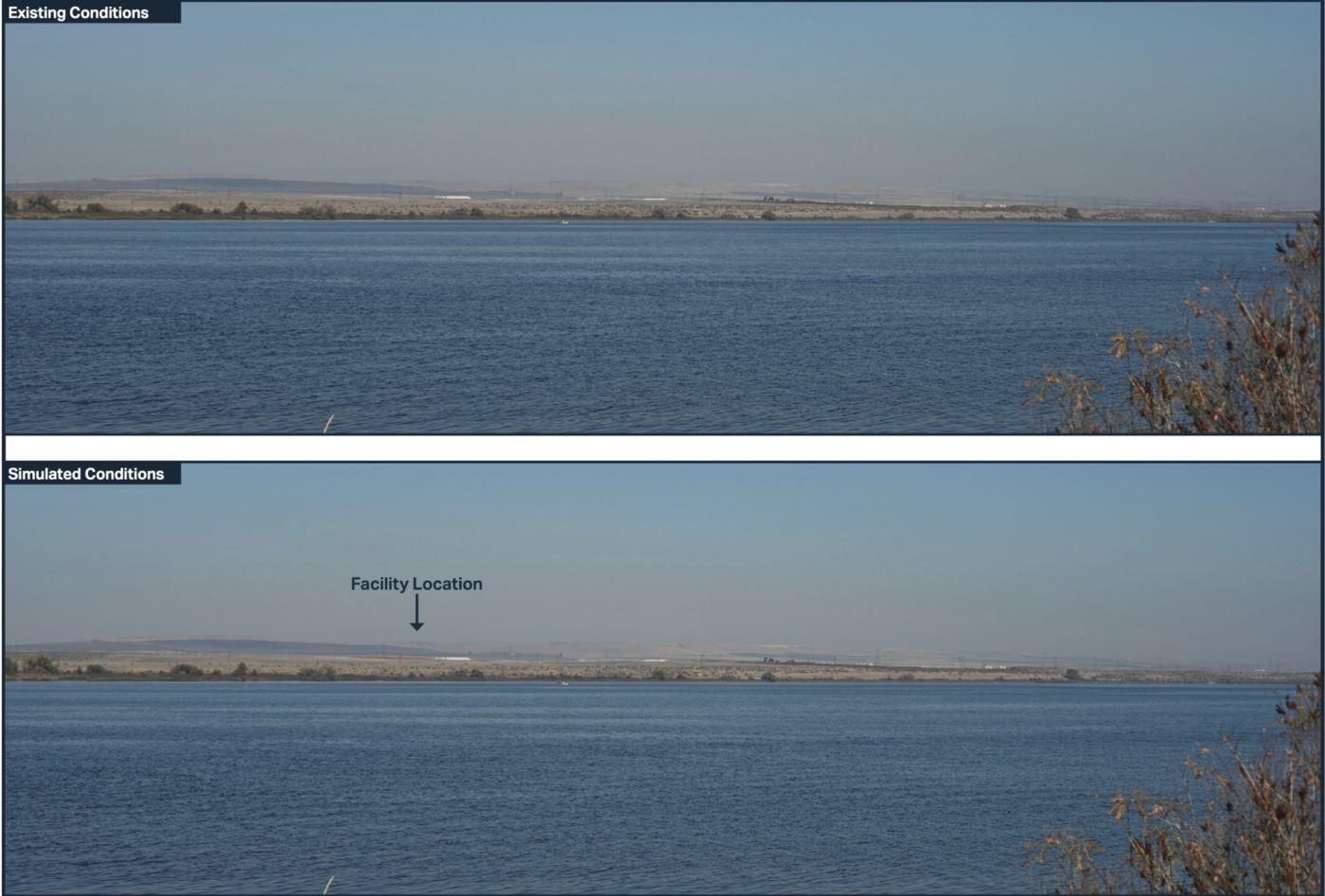
Visual Simulation from across the Columbia River
This visualization is a view of the private land parcels looking northward across the Columbia River. The top image shows existing contiditions; the bottom images includes a simulated view of the facility. Comparing the images shows that the existing landscape and rolling hills almost entirely screen out the solar farm from this vantage point across the Columbia River.
Project Characteristics
Land & Agriculture
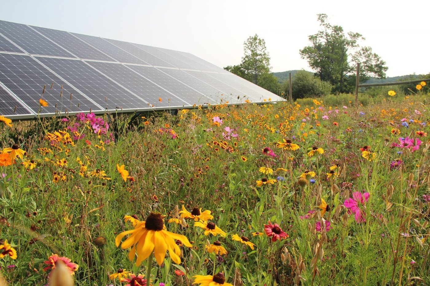
The Wallula Gap Solar Project is located on private land that is currently used for grazing cattle. Because of this, OneEnergy is designing Wallula Gap as a dual-use project. OneEnergy is currently exploring innovative approaches to the project's design, such as grazing sheep and planting pollinator habitat. Solar grazing would allow the site to stay in direct agriculture production by providing valuable grazing grounds for local producers. OneEnergy has been in conversation with a local rancher to graze sheep on the site underneath the solar panels. Pollinator habitat would allow for increased pollination of nearby crops, supporting the current practice of siting bee hives nearby to crops. The dual-use nature of the Wallula Gap Solar project will ensure that solar is not displacing the agricultural use of the land. Agriculture is important to the past, present, and future of Benton County’s culture and economy and, through dual-use, OneEnergy is endevaoring to protect this legacy.
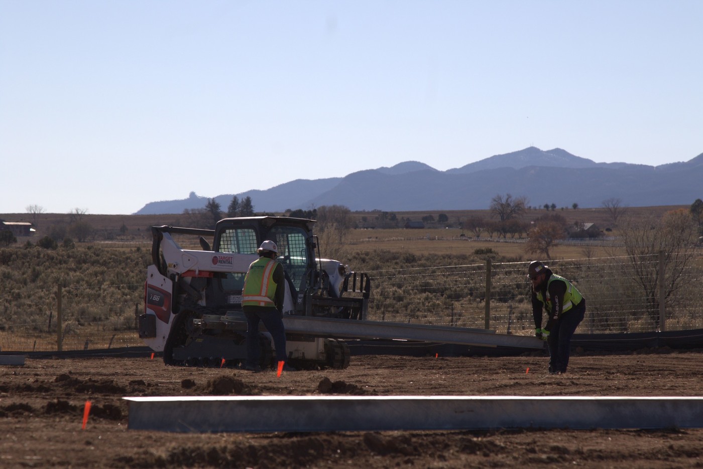
Permitting for the Wallula Gap Solar Project will be processed via an Application for Site Certificate (ASC) from the Washington Energy Facility Siting Evaluation Council (EFSEC).
Roads & Local Infrastructure
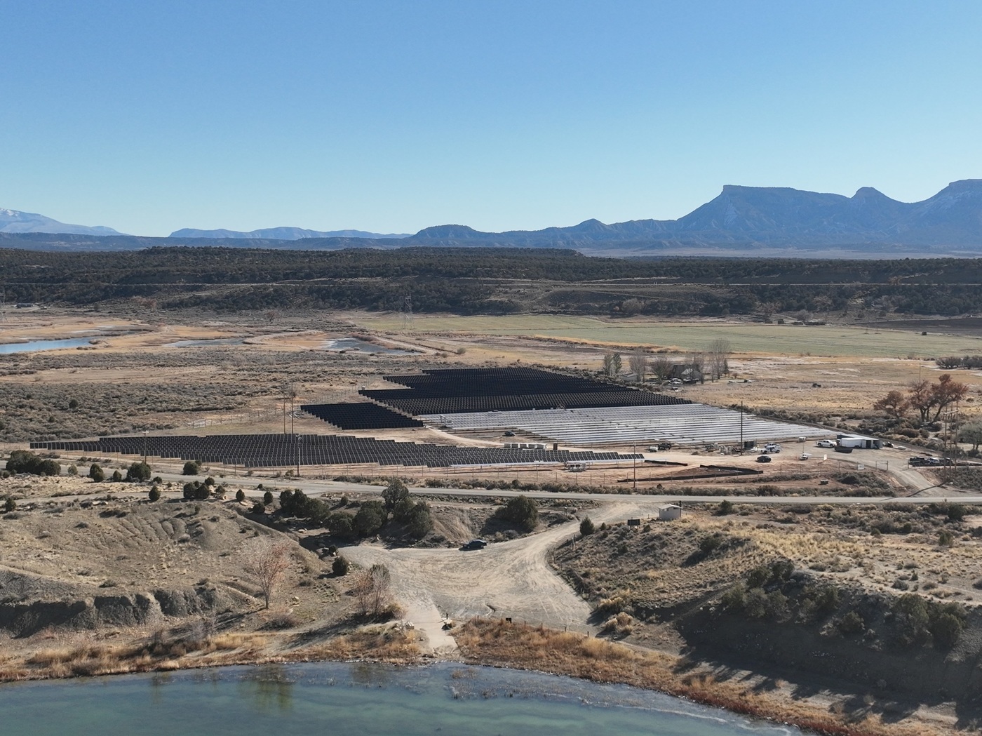
Public roads used to access the project during construction and operations will be left in the same or better condition than they were prior to project use.
OneEnergy is working with WSDOT to ensure all road approaches and saftey considerations follow the state requirements.
Apart from public roads, the Wallula Gap Solar Project will not use any other local infrastructure. OneEnergy is also coordinating with the Benton County Fire Marshall through the permitting process to ensure that the project meets all applicable standards.
Wildlife
A wildlife survey and habitat survey was conducted on the project site in 2022 and 2023. No sensitive or protected species were found to be present or nesting on the site.
OneEnergy has been in consultation with the Washington Department of Fish and Wildlife (WDFW) and will continue consultations through final design.
Wetlands, Water, & Stormwater
A wetlands survey was conducted on the project site in 2022, during which the extent of the wetlands on site were delineated and surveyed. The design of the project is such that no impacts to wetlands are expected.
To protect water quality during both construction and operation of the Wallula Gap Solar Project, OneEnergy will ensure that all project designs comply with all relevant and applicable standards and regulations for stormwater management.
Where possible and to the best extent feasible, our Best Management Practices include:
Preserving the existing vegetation.
Designing the project to be compatible with the existing topography,
soils, and vegetation.
Scheduling grading and construction to minimize soil exposure.
Inspecting and maintaining control measures during construction.
Minimizing concentrated flows and diverting runoff away from exposed areas.
Minimizing slope grade and length.
Keeping runoff velocities low by using channel linings or temporary
structures in drainage channels.
Preparing drainageways and outlets to handle concentrated or increased runoff.
Using flagged poles or stakes to mark storm drains, catch basins, curb inlets, and other BMPs.
Vegetating and mulching disturbed areas.
Restoration, Reclamation, and Revegetation
At the end of the project’s life, OneEnergy will be responsible for removing the facility improvements and restoring the land to its original use. This will include the removal of roads on the site, soil treatment as necessary, and revegetating any areas disturbed during the removal of the solar facility. Equipment such as the solar panels will be recyled and equipment such as steel beams, fencing and wire will be salvaged.

